Trails / Alpena & Montmorency Counties
Open
A rustic rail-trail west from Alpena toward Hillman — also known as the Paxon Spur — popular with snowmobilers in winter and open to all non-motorized users.
Map & Directions
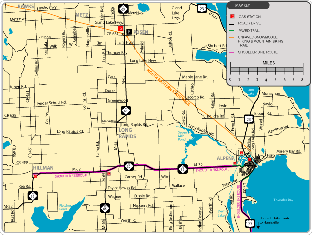
The trail follows an abandoned rail grade from Alpena west toward Hillman.
About the Trail
The Alpena to Hillman Trail (also known as the Paxon Spur) is an abandoned rail grade that is primarily used by snowmobiles in the winter, although all non-motorized users may use the trail. The surface is dirt, cinder, and ballast.
Gates along the route can make the trail look closed — feel free to walk or bike around the gates.
Improvement Project
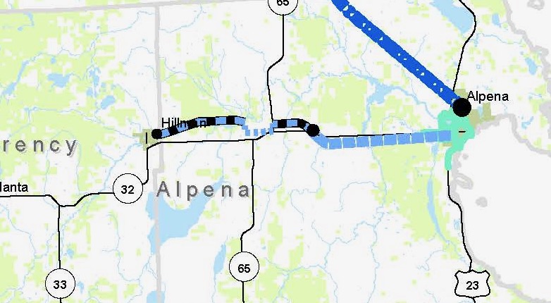
The DNR’s funded improvement project covers 13.5 miles of trail from Franklin Street in the City of Alpena to M-65. The drafted scope includes:
The project was delayed by MDOT because of issues with bridge construction and other budget problems; design work resumes once those are resolved.
Get Involved
Trails are built and maintained by volunteers and donors. Join us.